


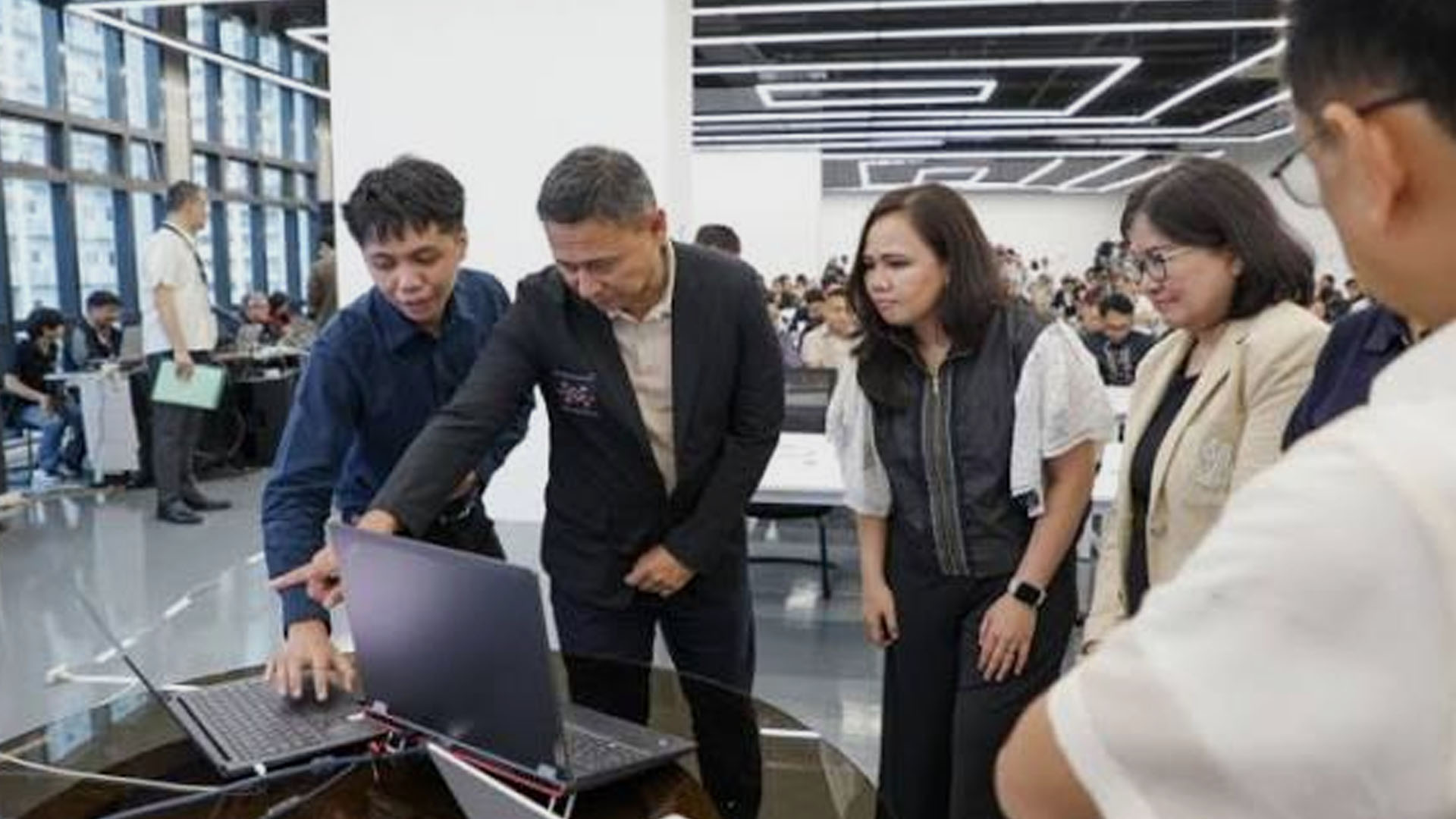







Local authorities and school administrators may now advance anticipatory actions and data-driven disaster response with the Project Learning Institution Geohazard Tracking and Assessment for Safety Plus (LIGTAS+), Education Secretary Sonny Angara said on Wednesday.
This comes after the Department of Education (DepEd) officially launched the LIGTAS+ platform nationwide, following its successful pilot implementation in May.
In a speech, the education chief said access to this artificial intelligence (AI) platform will be beneficial for both learners’ safety and learning continuity.
“Ito isasapubliko na ho natin ito, lahat ng local governments, pwede nilang antabayanan yung datos dito kung nakikita nila (We will now make it public; all of the local governments can monitor this data when accessing it),” Angara said.
“‘Yung predicted rainfall, gabi pa lang, bago mag 10 o’clock, pwede silang mag-cancel ng eskwela (The predicted rainfall, a night before, ahead of 10 pm, they can cancel in-person classes).”
Besides the early advisory, Angara also mentioned the possible distribution of learning materials for alternative delivery modes under the agency’s 4H protocol (Hinto, Hinga, Hinay, or Hayo) ahead of time.
“Kasi sa ngayon, ang nangyayari, hinahabol natin ‘yung (Because what’s happening now is that we need to catch up on the distribution of the) learning materials,” he said.
“Ngayon, puwede na tayong anticipatory—kapag alam na nating darating na ‘yung bagyo, darating na ‘yung baha, gagawa na tayo ng materyales, ibibigay na natin sa mga bata. Hindi na sila papasok; meron na silang materyales (Now, it can be anticipatory– if we know there’s a typhoon coming, flood coming, we will prepare materials and distribute them to learners. They no longer need to go to school to get their materials).”
In particular, the platform features three main functions, including multi-hazard monitoring for response preparedness, automated situation reports, and live incident tracking through the agency’s Incident Management and Reporting System (IMRS).
Schools nationwide may utilize the Project LIGTAS+ to check risks, anticipate impact, submit and access incident reports, as well as advance disaster response.
Upon accessing the platform, the public may immediately view the country’s map, which can show schools exposed to various disaster risks.
It has a dashboard section for forecasts and hazard data, which may help school administrators and local government units to make data-driven decisions.
This automatically shows the number of schools flagged per region due to various weather risks such as high heat index, rainfall, and flooding, among others.
It also provides a 10-day weather outlook, as well as the recommended 4H protocol for the flagged or affected schools, subject to field validation and local authorities’ discretion.
For situation reports, the platform’s generator will show reported information and the impact of rainfall, flooding, extreme heat, earthquakes, tropical cyclones, volcanic eruptions, and tsunamis, on a national, regional, and provincial scale.
This feature consolidates available forecast data alongside field reports generated from schools submitted through the IMRS.
Reports may be filtered by year, date range, hazard, region, or division.
This may grant the public access to previous records of class suspensions or average days for learning loss, numbers of affected learners, damaged schools and resources, and evacuation data, among others. (PNA)