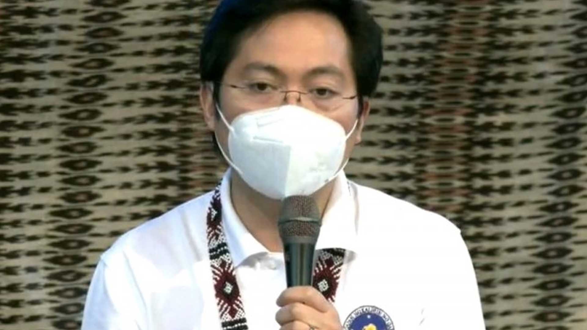
The coronavirus disease 2019 (Covid-19) dashboard data developed by the Philippine Space Agency (PhilSA) has helped the government improve its fight against the dreaded disease, Cabinet Secretary Karlo Nograles said Monday.
Nograles made the remarks, as he presented the PhilSA’s accomplishments during a meeting with President Rodrigo Duterte.
In a video aired on state-run PTV-4 on Tuesday morning, Nograles said the dashboard presents data related to the effects of the Covid-19 pandemic in the country.
“‘Yung naging kapaki-pakinabang din po at napapanahon sa gitna ng pandemya ‘yung pag-utilize ng various technologies natin using PhilSA at pag-harness ng space technology (The utilization of various technologies using PhilSA and harness space technology amid the pandemic benefits us),” he said.
The PhilSA and the Department of Science and Technology’s Advanced Science and Technology Institute (DOST-ASTI) have jointly developed the Covid-19 Space Data Dashboard to monitor and analyze the economic impact of the coronavirus using Earth Observation and remote sensing satellites.
The dashboard features an interactive Philippine map that shows data on traffic monitoring, air quality, water quality, and night lights of a certain location.
It is also designed to help the country determine its economic recovery strategies and monitoring the ensuing pace of recovery amid the pandemic.
The PhilSA uses Artificial Intelligence and remote sensing techniques to enable the more efficient monitoring of critical infrastructure, movement of goods on ships and vehicles, and changes in air and water quality.
Nograles said the Covid-19 Space Data Dashboard allows the government to better understand the impacts of Covid-19.
“Nagagamit ito (It is being used) to formulate better policy responses for Covid-19 related matters,” he said.
PhilSA’s Covid-19 Space Data Dashboard can be accessed through https://philsa.gov.ph/spacedata/project/covid19. (PNA)


